Visit to CCYM: Zoom, move and click
(Sources: OpenTopoMap, IGN Peru, CCYM)(Projections: OSM, Esri, Google)
0- CCYM: Location and perimeter
Full screen1 – Map of hydrological data: rivers, lakes and streams of the CCYM
2- CCYM: Communities, gatehouses and site images
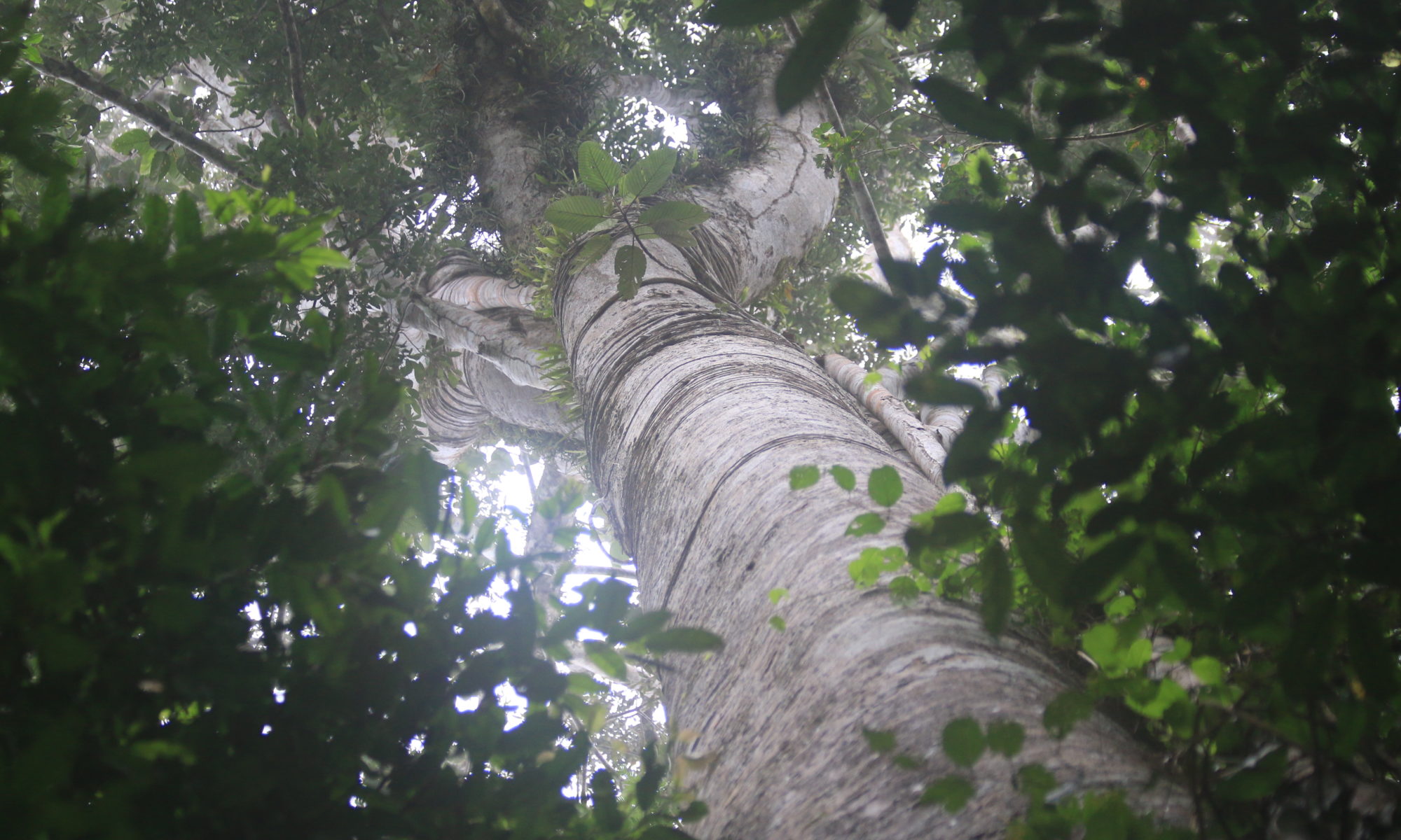
3 – CCYM: natural environment
Full screen4 – CCYM: seven types of forests
Full screen